Many people do not realize the importance of getting a Rural Land survey. “If it’s not broke, don’t fix it,” seems to be a standard when it comes to dealing with acres of land that have not been surveyed. How do you know exactly where the property lines are located on the land you own or are hoping to purchase? What happens when neighbors start disputing property lines? Or when it is time to put up a new outbuilding to accommodate an expanding production?
Bonnema Runke Stern Inc. is here to help you with your Rural and Farm Surveying needs. Not only can we help make property lines clear, but we can also help with a host of other information, such as:
An Easement gives a person or entity a legal right to use someone else’s land for a defined purpose. Easements can be used for many purposes including shared driveways, drainage, utility, and conservation to name a few. Locating existing Easements and accurately describing new Easements is important for both the Property and Easement owners.
Properties will generally have roads, ditches, low areas, and other features that will prohibit crop production. Knowing the tillable or farmed acres on a property is important for determining land values.
Land is the largest asset a person will likely own and having a survey in place defining how the land will be divided amongst your heirs will alleviate potential conflicts when settling your estate. Similarly, if land is owned by 2 or more parties it may be wise to define parcels of individual ownership to avoid conflict with future heirs as owners.
Aerial photos as far back as the 1930’s are available to the public. Our team can overlay these historical images on current maps for reference.
Section Corner Remonumentation
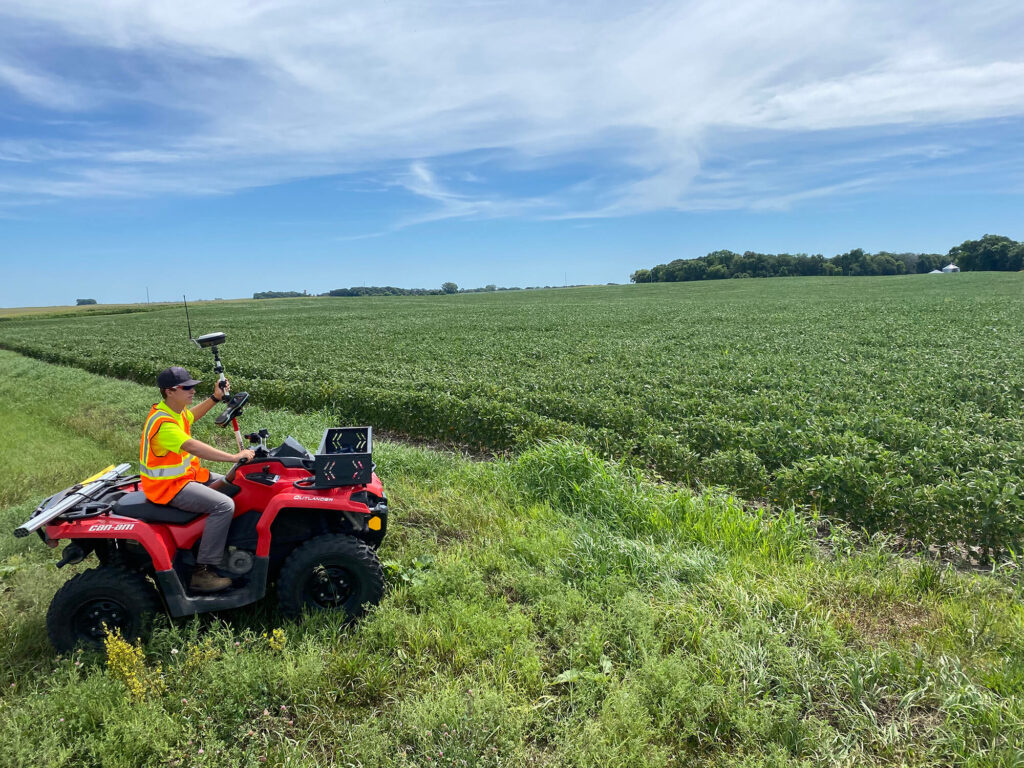
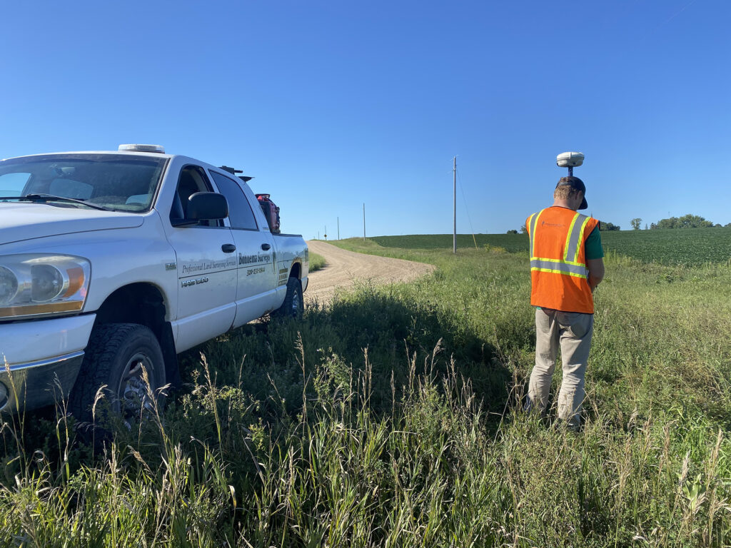
The original government land office surveys date back to the mid 1800’s and still today the monuments and evidence left by those original surveys is what determines most rural boundaries. At Bonnema Runke Stern Inc. we have the experience and expertise to research, determine and find the positions and evidence of these original section corner monuments.
Wetland Restoration (BWSR) Surveys – Our firm has been involved with many Wetland Bank Easement projects and has the expertise and knowledge to meet all of the survey requirements and perform the survey to the state’s legal survey standards.
Conservation Surveys – Our firm performs a significant amount of work for many different conservation agencies including the Natural Resources Conservation Service (NRCS), the U.S. Fish & Wildlife Service (FWS) and the Department of Natural Resources (DNR). From new land acquisitions to re-surveys of existing boundaries, our firm has shown expertise in performing conservation surveys and understands what is needed to meet the requirements and standards for these types of surveys.
With all of your Rural and Farmland surveying and mapping needs, feel free to give us at Bonnema Runke Stern Inc a call. With 40 years of experience in the field, (literally!) we are happy to answer any questions you may have.